


By: burgundy bug

From Oregon With Love
Source: From Oregon with Love | Penelope Peru Photography P³
Oh, Oregon. Known for your hipsters and loved for your legal cannabis, you are home to some of the most beautiful national parks in America.
The summer before my freshman year of college, I was fortunate enough to land myself in the heart of Oregon. Bent on capturing the corona during the Total Solar Eclipse, I was determined to cram as much of the state as I could into my six-day getaway.
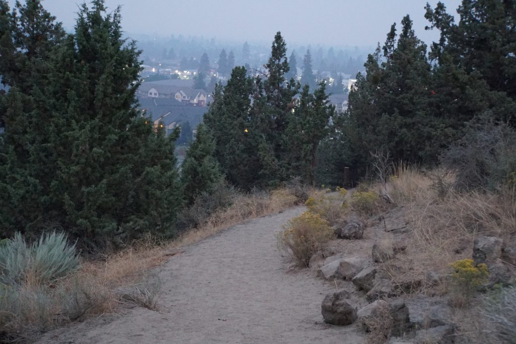
Pilot Butte – Bend, OR

Pilot Butte from Bend, OR
Source: Approaching Pilot Butte | Penelope Peru Photography P³
Pilot Butte is a lava butte that formed as the result of an extinct volcano. The cinder cone butte is approximately 500-ft above the surrounding area, with trail and a one-lane road that to the top.


Sunset from Pilot Butte
Source: Sunset from Pilot Butte | Penelope Peru Photography P³
The hike to the top of Pilot Butt is hard, don’t let ANYONE – especially locals – try to tell you otherwise. It is a 2-mile hike up 480-ft without any guard rails (at least, not when I had visited). There are benches and pets are allowed, which is a plus. Just be weary if you aren’t particularly fond of heights!
Bug’s Two Cents
Alright, maybe it’s not THAT difficult of a hike. Bear in mind I’m a city gal – we don’t hike up 480-ft for fun around here. We don’t even like walking down the street for milk. That’s why there’s a convenience store that rhymes with “haha” on every corner.
I had also spent the day hiking on various trails prior to my visit, and I’m not even sure I had water with me. Going up Pilot Butte was decided on a whim after a local promised it would be an easy trail with an awestriking scenic viewpoint.

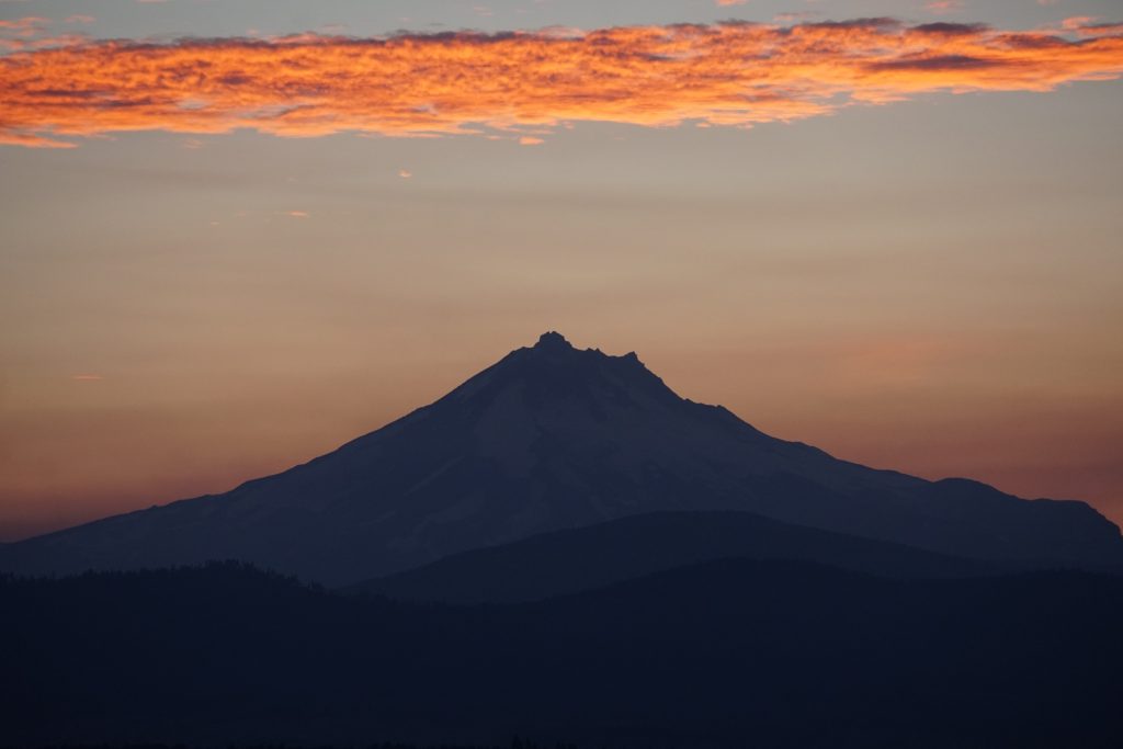
Sunset from Pilot Butte
Source: Yellow Skies & Mountain Silhouettes from Pilot Butte | Penelope Peru Photography P³
My group and I took the local’s word and made the journey. With each wrap around the butte, the light at the end of the tunnel seemed further and further away. Things got especially tense when one of us started having a panic attack.
Once we made it to the top, we were dazzled by the city of Bend twinkling below us. Cars scurried around the streets like ants as rush hour traffic died out into the surrounding suburbs before our very eyes.


Bend from Pilot Butte
Source: Pilot Butte | Penelope Peru Photography P³
We decided it wouldn’t be worth attempting to navigate down Pilot Butte at dusk, so we did what any good tourist would do. We the police for assistance.


Pilot Butte at Dusk
Source: Pilot Butte | Penelope Peru Photography P³
As promised, an officer arrived at the scenic viewpoint and gave us a ride to the base of the butte, laughing the whole way down. He said it was the most interesting call the station had heard all week.

Sunset from Pilot Butte
Source: Pink Skies & Mountain Silhouettes from Pilot Butte | Penelope Peru Photography P³
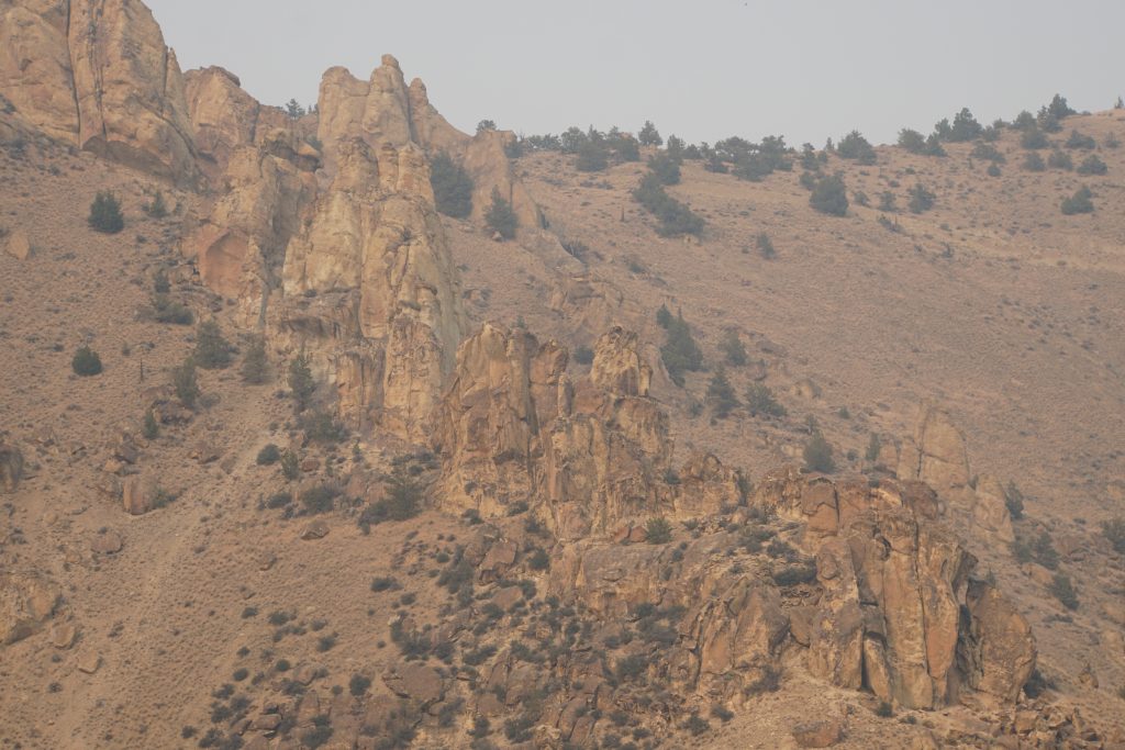
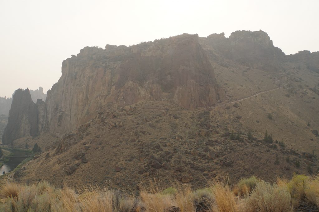
Smith Rock – Terrebonne, OR

Smith Rock
Source: Smith Rock | Penelope Peru Photography P³
Smith Rock State Park spans over 650 acres and 3000-ft in elevation, according to their website.
The state park features scenic viewpoints, hiking/biking trails, and rock climbing.

Smith Rock viewpoint
Source: View from Smith Rock | Penelope Peru Photography P³

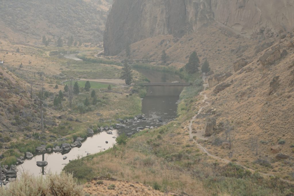


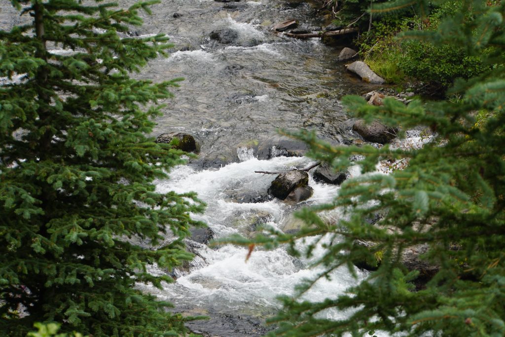
River by Smith Rock
Source: River by Smith Rock | Penelope Peru Photography P³
Smith Rock is also home to a diverse variety of wildlife including: golden eagle, golden prairie falcons, mule deer, river otter, as well as beaver, according to Oregon State Parks.
Bug’s Two Cents

Burgundy Bug Photographing Smith Rock
Source: The Burgundy Zine
Although I wasn’t brave enough to venture down any of Smith Rock’s trails, the cliffs rockfaces made for some truly unbelievable photographs.


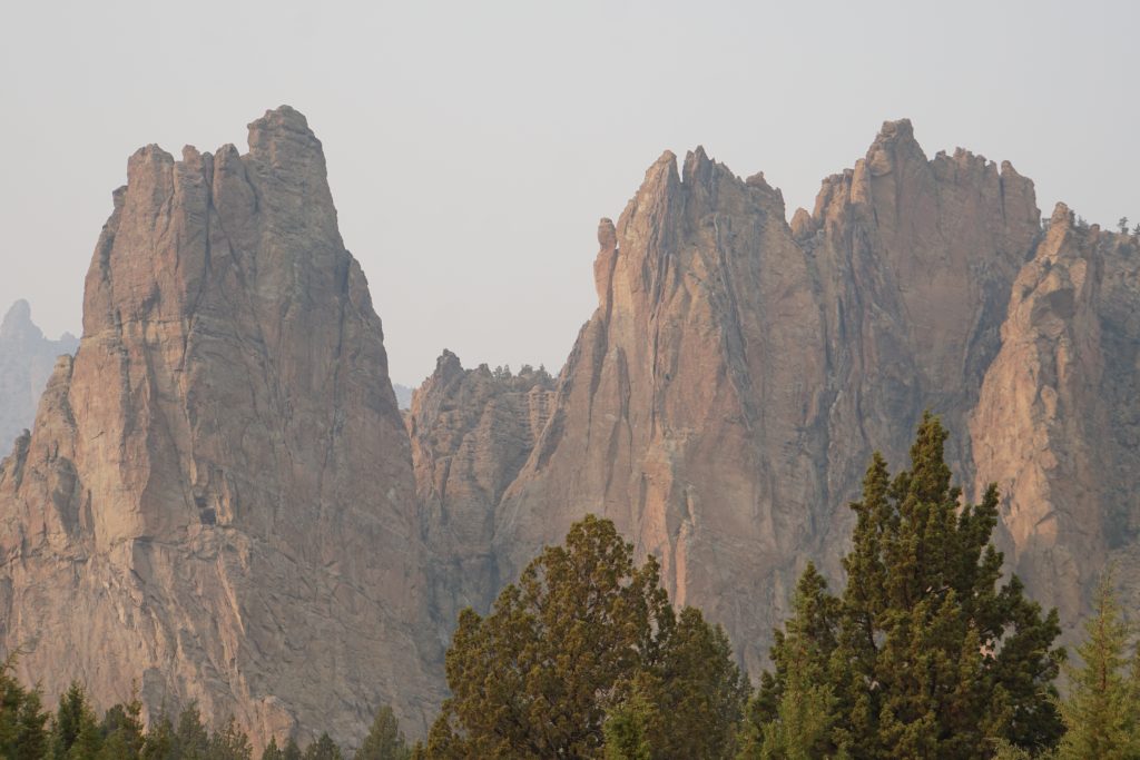
Smith Rock
Source: Smith Rock | Penelope Peru Photography P³
I did, however, manage to spy with my little Tamron (18-200mm)’s eye, two hikers brave enough to make their way up one of the trails. Talk about having guts!


Hikers at Smith Rock
Source: Smith Rock | Penelope Peru Photography P³
I also spotted this little lizard while I was there.

Lizard at Smith Rock
Source: Leisurely Lizard | Penelope Peru Photography P³
Tumalo Falls – Bend, OR

Tumalo Falls
Source: Tumalo Falls Waterfall 01 | Penelope Peru Photography P³
Tumalo Falls features multiple hiking and biking trails that will land you up close and personal with the 97-foot waterfall.
There are other trails at the state park that will take you on a tour through the forest and additional waterfalls, as well.

North Fork Trail Sign at Tumalo Falls
Source: North Fork Trail Sign | Penelope Peru Photography P³
Bug’s Two Cents


Tumalo Falls
Source: Oregon Highlights // August 23rd, 2017 | Penelope Peru Photography P³
Tumalo Falls was absolutely enchanting. My only regret? Not getting closer to the water. There were some families who got up close and personal with the waterfall by trudging down a rocky, windy path that led to its mouth.
The viewpoint from the waterfall was nothing short of breathtaking. Though it was cloudy when I had visited, the fog engulfed the surrounding hills in an alluring, grey shroud.

View from Tumalo Falls
Source: Oregon Highlights // August 23rd, 2017 | Penelope Peru Photography P³
Lava River Cave – Bend, OR

Lava River Cave entrance
Source: Lava River Cave | Penelope Peru Photography P³
Visitors are welcome to explore the mile-long lava tube located at the bottom of 55-stairs. Be sure to bundle up! The average temperature inside the cave year-round is 42-degrees Fahrenheit, according to the United States Department of Agriculture (USDA).
To prevent the spread of White-nose Syndrome to the bats indigenous to the cave, visitors are asked not to wear clothing or gear they have worn to other caves or mines.
Visitors are also encouraged to bring their own source of light or rent one from the visitor’s center prior to entering Lava River Cave.
Bug’s Two Cents
My time in Lava River Cave was compromised, as I made the rookie mistake of going in a tank top. I hadn’t done my research prior, so I had no idea how chilly it would be until the rangers warned my group and I.
At that point, it was too late to turn back. I took the plunge. As someone who’s already sensitive to the cold as it is – intensified by my acute (and somewhat irrational) fear of freezing to death – I can whole-heartedly say my experience would have been 10-times better if I had dressed appropriately.
Not to be a Debbie Downer, but I was also a bit disappointed with how my pictures inside the cave turned out.

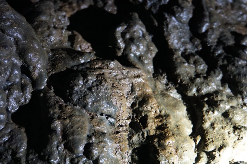

Inside of Lava River Cave
Source: Inside Lava River Cave | Penelope Peru Photography P³
Don’t get me wrong – the entrance made for some extraordinary photographs. However, the inside of the lava tube was too dark to capture without shining a flashlight or using my camera’s flash, which added an unpleasant glare or white-washed the formations inside the cave.


Outside of Lava River Cave
Source: Lava River Cave | Penelope Peru Photography P³
On the plus-side, this chipmunk was quite photogenic – and quite friendly, might I add!

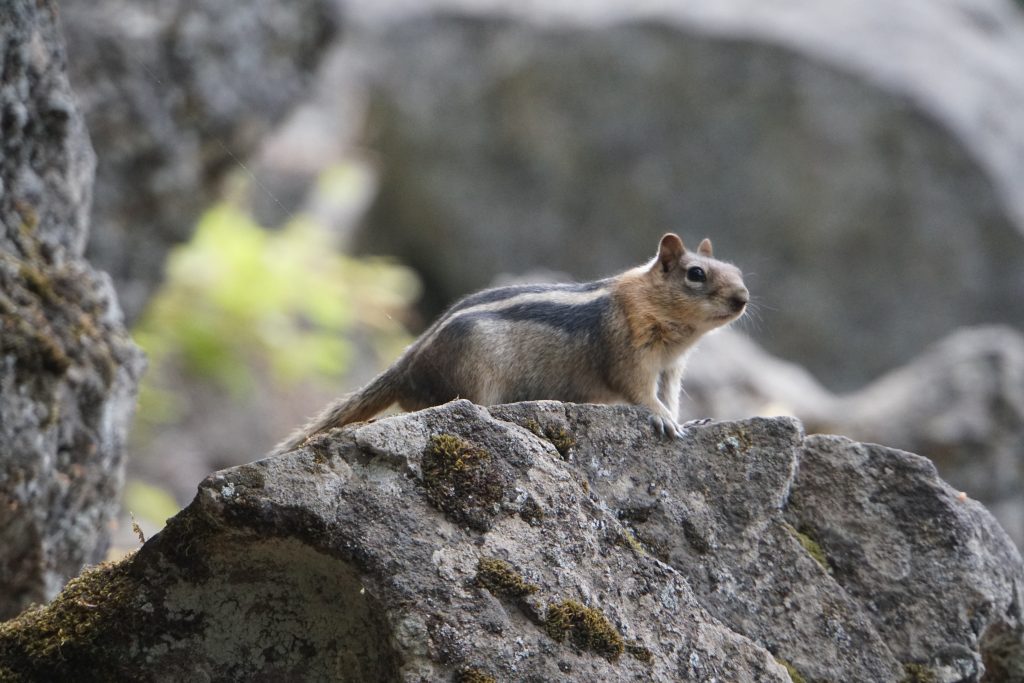
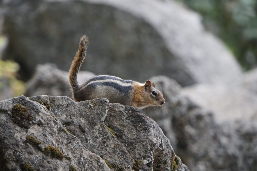
Chipmunk at Lava River Cave
Source: Chipmunk | Penelope Peru Photography P³
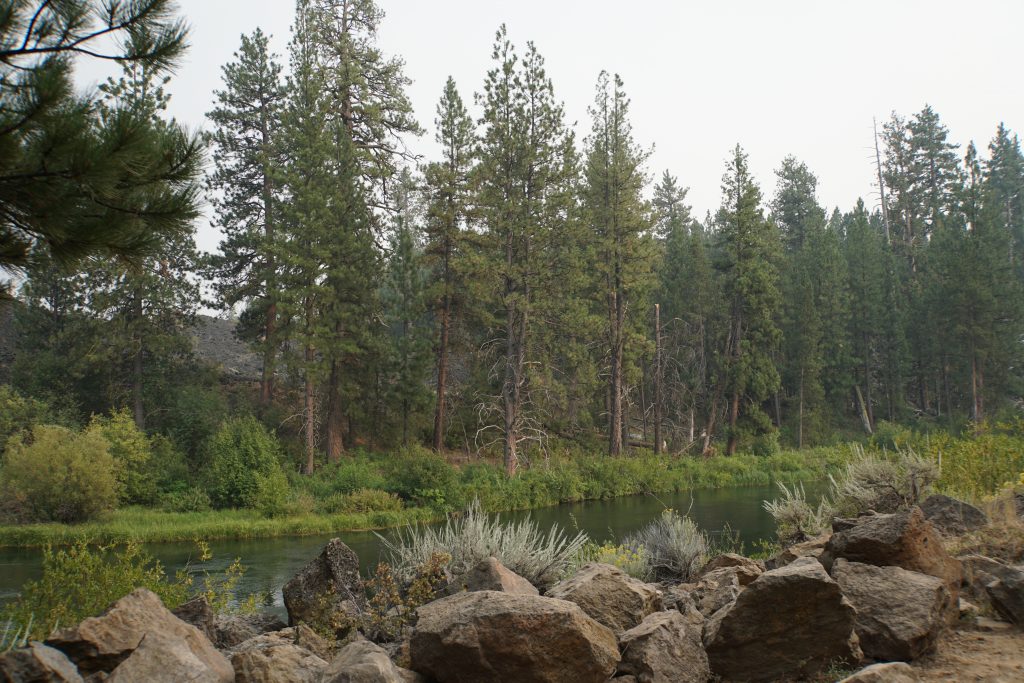
Deschutes River – Bend, OR

Mouth of Deschutes River
Source: Mouth of Deschutes River | Penelope Peru Photography P³
Deschutes River is a 252-mile long tributary of Columbia River. Flowing from the north, wrapping around the city of Bend, and spilling into Lake Billy Chinook, visitors may fish, kayak, river-raft, and canoe through the river.
Deschutes River Trail, located between Lava River Cave and the High Desert Museum, is an 11-mile trail that ranges from easy to intermediate. The trail brings you nose-to-nose with the rushing rapids amidst trees that tower for as far as the eye can see in Deschutes National Forest.

Log in Deschutes River
Source: [FRAMES] Rushin’ Water 06 | Penelope Peru Photography P³
Bug’s Two Cents
I absolutely LOVED Deschutes River Trail! The hike was fairly easy and the environment was nothing short of eye candy.


Deschutes River
Source: Oregon Highlights // August 23rd, 2017 | Penelope Peru Photography P³
The river, coupled with the trees, bridges, and sounds of the surrounding environment, were movie-esque. I felt like I was in Endor from Star Wars.

Bridge over Deschutes River
Source: Deschutes River Bridge | Penelope Peru Photography P³
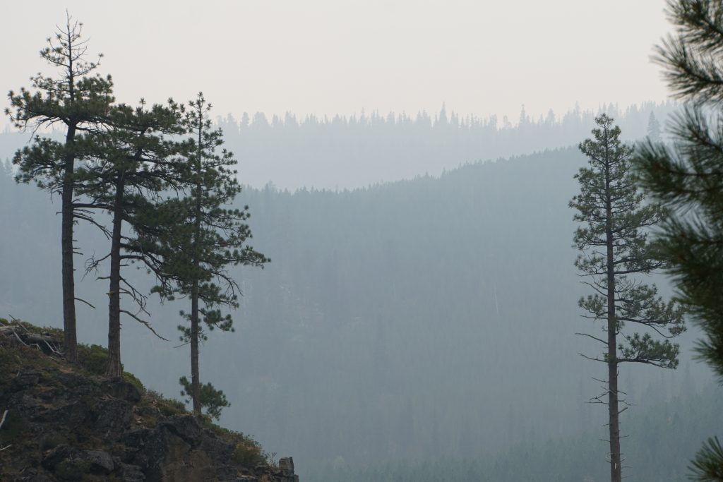
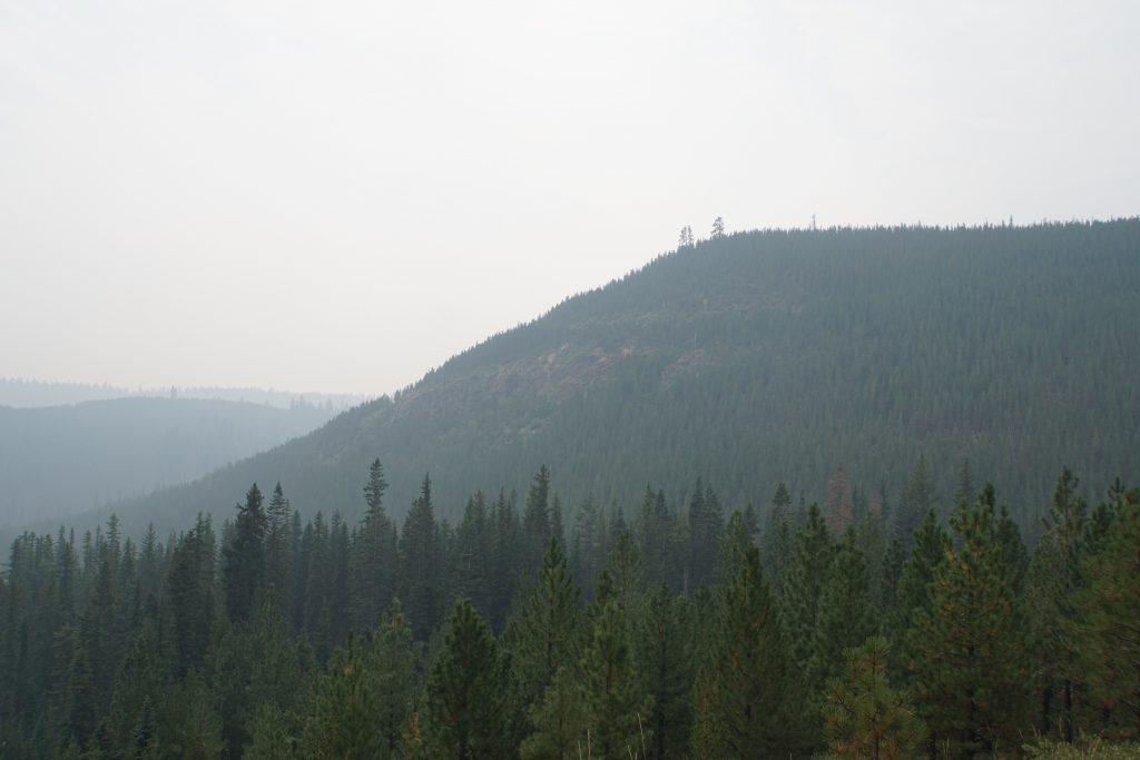
Hiking Through Central Oregon
If you happen to land in the heart of Oregon, you owe it to yourself to explore the landscape.
Central Oregon’s beauty is in a league of its own. It is incomparable to any of the other 21-states I have visited.

Lake Billy Chinook
Source: Oregon Highlights // August 20th, 2017 | Penelope Peru Photography P³

Bobcat at the High Desert Museum
Source: High Desert Museum Bobcat | Penelope Peru Photography P³
Needless to say, I’ve been itching to go back ever since.
Health and wellness are the foundation for Central Oregon’s culture. The area emphasizes the value of being active – whether you’re a biker, a dog-owner, a runner, hiker, or a fisher, there’s something for everyone.
Out of all the trails I covered in this article: Pilot Butte, Smith Rock, Tumalo Falls, Lava River Cave, and Deschutes River, I highly recommend paying a visit to Smith Rock, Tumalo Falls, and Deschutes River.
I also recommend renting a boat for the day on Lake Billy Chinook or paying a visit to a local alpaca ranch, such as the Crescent Moon Ranch in Terrebonne.

Brown Alpaca at the Crescent Moon Ranch
Source: Brown Alpaca 02 | Penelope Peru Photography P³
Interested in having content featured in an upcoming blog post or issue of The Burgundy Zine? Head on over to the submissions page!
For all other inquiries, please fulfill a contact form.